File:Artsakh location map.jpg
Jump to navigation
Jump to search

 This JPG graphic was created with Inkscape .


Size of this preview: 522 × 600 pixels. Other resolutions: 209 × 240 pixels | 418 × 480 pixels | 669 × 768 pixels | 891 × 1,024 pixels | 1,750 × 2,010 pixels.
Original file (1,750 × 2,010 pixels, file size: 253 KB, MIME type: image/jpeg)
Captions
Captions
Add a one-line explanation of what this file represents
This file requires updating. In doing so, you could add a timestamp to the file.
|
Summary[edit]
| Description |
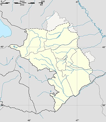
Français : Carte vierge du Haut-Karabakh, avec les frontières de facto, destinée à la géolocalisation. Deutsch: Positionkarte von Bergkarabach English: Blank map of Nagorno-Karabakh (de facto situation) Español: Mapa de Nagorno Karabaj Italiano: Carta de Nagorno-Karabakh 日本語: ナゴルノ・カラバフの地図 Português: Carta do Nagorno-Karabakh
|
||
| Date | 6 August 2011 | ||
| Source |
Création personnelle ;
Inkscape : vectorisation, intégration du fichier svg d'Openstreetmap (frontières). |
||
| Author | Bourrichon - fr:Bourrichon | ||
| Permission (Reusing this file) |
|
||
| Other versions |
Add-a-map : Template:Other versions/Nagorno-Karabakh map
|


Licensing[edit]
I, the copyright holder of this work, hereby publish it under the following licenses:

|
Permission is granted to copy, distribute and/or modify this document under the terms of the GNU Free Documentation License, Version 1.2 or any later version published by the Free Software Foundation; with no Invariant Sections, no Front-Cover Texts, and no Back-Cover Texts. A copy of the license is included in the section entitled GNU Free Documentation License. |
|
This file is licensed under the Creative Commons Attribution-Share Alike 3.0 Unported, 2.5 Generic, 2.0 Generic and 1.0 Generic license. | |
|
You may select the license of your choice.
File history
Click on a date/time to view the file as it appeared at that time.
| Date/Time | Thumbnail | Dimensions | User | Comment | |
|---|---|---|---|---|---|
| current | 18:49, 6 August 2011 | | 1,750 × 2,010 (253 KB) | Bourrichon (talk | contribs) | |
| 18:42, 6 August 2011 |  | 1,750 × 2,010 (256 KB) | Bourrichon (talk | contribs) | == {{int:filedesc}} == {{Information |Description= {{fr|Carte vierge du Haut-Karabakh, avec les frontières ''de facto'', destinée à la géolocalisation.}}{{de|Positionkarte von Bergkarabach}}{{en|Blank map of |
You cannot overwrite this file.
File usage on Commons
The following 11 pages use this file:
File usage on other wikis
The following other wikis use this file:
- Usage on fr.wikipedia.org
- Usage on hu.wikipedia.org